Wahiawa Hills, to me, is one of my favorite hikes. So I decided to take my mom on this hike for her birthday. I've forgotten how many ups and downs there were and how slippery it can get. Its been about a year and a half since I first done this hike.
We started the hike about 8:30am. It was overcast and humid with some potential showers. Norm, Harley, my mom, my brother, Dominic and his two keikis, Mei Linn, Erica and I, set out on our journey which I thought was not gonna take too long. Boy was I wrong. Our hike started through a patch of paper bark trees. When we got to the trail head, I made a mistake of leading my group down a more difficult path. We were supposed to head down a steep hill, instead we went off to the right of the trail into a little dale. If it weren't for the two downed trees we would have never been able to make it to the bottom. On the way down, Norm and my brother Alika took a few spills due to the saturated ground, it was really decieving. So I told everyone to watch their footing and butt slide if you have to. Then we came upon two downed tree trunks that lead to the bottom of the hill. If you ever get a chance to see what we did, you'd be like "what the hell, why are you taking a 7yr old down this way, your crazy". But this little girl blew my mind. She was strong from start to finish. Anyways, after getting everyone down the hill I realized that we needed to get over one hill to get back to the main trail. So I did some scouting to prevent any more wrong turns. And thankfully I found the way. Wahiawa is super easy to get lost in comparable to Kahana Valley. Now that we were on our way, I was kinda glad to actually take a new route. We ended up on a ridge that lead us right to the top of the waterfall and back down to the main trail that crosses the stream from the approximately 15ft waterfall. I don't really know the exact height. We took a short breather and pressed on.
When we came upon our second crossing, I made my second detour which led us nowhere. Then I realized that none of the terrain looked familiar, I then remembered it was just a little further down. When we desended down to the Kaukonahua Stream, I made a critical junction error. Instead of going straight down the hill, we needed to take a left down the steep side of hill.
After about 20 minutes of looking around for the actual trail we were on our way. So everyone crossed the stream and proceeded up the uluhe hill. Thats just what I call it. Nothing but uluhe all the way to the top. I'd say that it took us a good 45min to get up due to the trail being over grown. By the time we all made it to the top, my brother and Norm were hurting pretty bad. So we took a long 30min rest then continued. We followed, what was, an old jeep road for pretty much the remainder of the hike to the rest area. A few ups and downs and along the way their is great scenery of the valley. Lots of hapu and Koa along the hill sides.
Once we got down to the rest area it was about 1:30pm. I was so glad to finally relax for a minute. Ate some food, jumped in the water for a minute to wash myself off and waited for Norm to make his way down the hill to us. It took him quite some time. But I give the man credit for doing a hike like this. He told me "Its not too bad, just the fact that the trail is muddy and all the up's and down's. Other then that i'm ok". All I could do is laugh, and tell him that he looked like Moses coming down the hill. After he met up with us it started to rain, so we told him he gotta eat fast, cuz we gotta go. Man was he bummed.
After we had our laughs and fed our belly's, we made our second to last steep climb to the top of the ridge toward east range. Norm and my brother were over it. "Another steep hill?, WTF?" my brother said. I just laughed. The rest of the group went ahead while I stuck in the back with my brother and Norm. Alot of waiting time. It took them about 1hr30min to get up that hill, while the others were about a mile away by then. The rest of the way was pretty easy, a moderate slope down hill. A few up's and down's, but not too many. Way easier than the first half of the hike.
When we finally caught up to my mom and the others, they had been waiting about an hour according to my mom. Harley, Erika and Mei had already made it to my moms house which is like another 2 1/2 miles away from the water tower.
I was so glad that all we had to do is climb one last hill and the hike would be over. It was definatly a birthday hike my mom and all the others will never forget. We ended up back at the car at 5ish. An 8 1/2 hour hike. The longest 5miles of my life so far. And to end it on a good note, I ended up locking my keys in the trunk. Yay.
Wahiawa Water Tower
A pretty crazy section. And the wrong way. Sort of.
The waterfall.
First stream crossing.
Not the only slip on the trip.
All I can say is its slippery.
The first hill. Uluhe all the way
On our way down to the rest area.
True hawaiians.
The second and most steep climb.
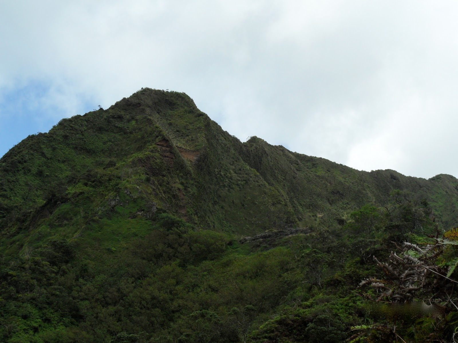
A look toward the Ko'olau range.
The last climb.
Back to the car.